What is GIS really?
Many people still think GIS is “just maps”. It isn’t.
GIS is not about drawing pictures of places or replacing Google
Maps. It’s about understanding relationships, patterns and risks in space so
better decisions can be made.
Google Maps helps you get from A to B.
GIS helps you understand why things happen where they do — and
what the impact of decisions will be.
When used properly, GIS becomes a decision-making tool, not a
drawing tool. It allows planners, engineers and decision-makers to see how land
use, services, people and infrastructure interact with each other.
Spatial data changes how we see problems. Suddenly, issues that
seemed complex become clearer. Gaps appear. Risks surface. Opportunities become
visible. One of the biggest myths, especially in government and
consulting, is that better software will fix everything. It won’t. Good data
and good thinking matter far more than fancy tools.
GIS is powerful not because it makes maps — but because it helps
us ask better questions and make better choices.
© TGIS
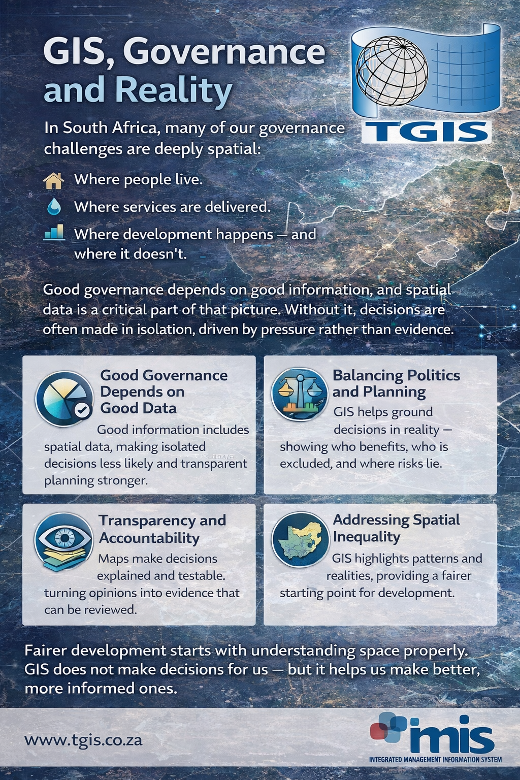
GIS, Governance and Reality
In South Africa, many of the challenges faced by government,
planners and decision-makers are fundamentally spatial in nature.
They relate to where people live, where services are delivered,
and where development happens — and where it does not. Good governance depends on good information. Spatial data forms
a critical part of that information base. Without it, decisions are often made
in isolation, driven by urgency, pressure or incomplete understanding rather
than evidence.
There is an inherent tension between politics and planning. GIS
does not remove that tension, but it helps to balance it by grounding decisions
in reality. Maps make impacts visible. They show who benefits from decisions,
who is excluded, and where risks and unintended consequences may arise.
When used responsibly, GIS supports transparency and
accountability. Spatial information allows decisions to be explained, tested
and reviewed over time. It creates a shared reference point based on evidence
rather than opinion, enabling more informed dialogue between stakeholders.
Spatial inequality continues to persist in South Africa because
space has historically been planned unevenly. Ignoring this reality only
deepens existing challenges. GIS helps to clearly identify these spatial
patterns, providing a foundation for addressing inequality in a structured and
informed manner.
Fairer development starts with understanding space properly. GIS
does not make decisions on behalf of institutions or leaders, but it provides
the insight required to make better, more informed decisions that are grounded
in reality.
© TGIS
www.tgis.co.za